Höhenwanderweg Mon - Stierva
Simple
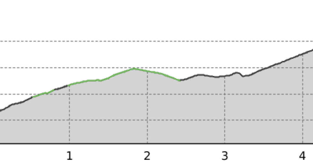
4.7 km
1:35 h
358 mhd
45 mhd


Show all 3 images

Idyllic hiking way with view to the Albula valley
Best Season
Jan
Feb
Mär
Apr
Mai
Jun
Jul
Aug
Sep
Okt
Nov
Dez
Start
Mon
Destination
Taurusva
Coordinates
46.650339, 9.563669
Details
Description
Do you love the nature and the calm? Then we recommand this idyllic hiking way with a wonderful vieux to the Albula valley.
Geheimtipp
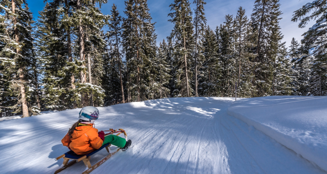
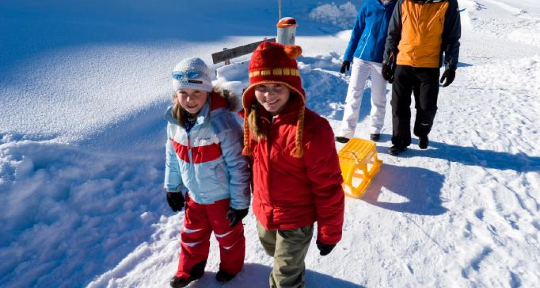
From the upper edge of the village (high-altitude hiking trail) on foot to Zozas and toboggan down.
Ausrüstung
Good winter shoes and warm winter clothing are recommended.
Directions
Start: village border above, at the sleigh way
Route: Mon - Stierva
Possibilities: From Stierva with postcar back to Mon. To stop for a bite to eat in Belavista in Stierva.
Directions
Public Transport
With postcar until Mon
Anreise Information
With car until Mon
Parken
At the former schoolhouse in Mon.
Responsible for this content Outdooractive.
This content has been translated automatically.

This website uses technology and content from the Outdooractive platform.